What is Nevada Lands: Nevadans’ Land?
Summary:
Nevada Lands: Nevadans’ Land is a personal journey to research how immigrants moved onto the Basin and Range province of rural Nevada before the outsized influence of the automobile; surveying their challenging relationship with the land by visiting “historical named places” recorded in the U.S. Geological Survey’s Geographic Names Information System (GNIS) developed with the U. S. Board of Geographic Names.
There are over a thousand such places to locate, document, and analyze using a geographic information system (GIS).


Background:
The era of exploration and expansion across America was aptly described in the mid nineteenth century by Alexis de Tocqueville,…”everything about Americans is extraordinary…perpetual instability in people’s desires, a constant need for change, an absolute absence of ancient traditions and ancient mores, a commercial and mercantile spirit that is applied to everything, even where it is least appropriate.’ (Zunz).
And, tellingly, America holds a unique position as the only country to establish boundaries before settlement. (Linklatter)
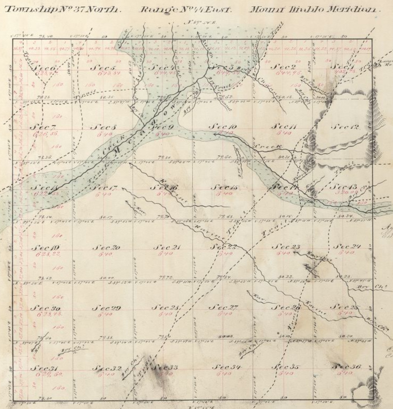
The 1795 Land Ordinance, championed by Thomas Jefferson, put in place a rectangular grid system of townships and ranges to map, describe, and then record land ownership for the interest of its homesteaders and their successors; the beginning of the democratization of land in America. (Linklatter)
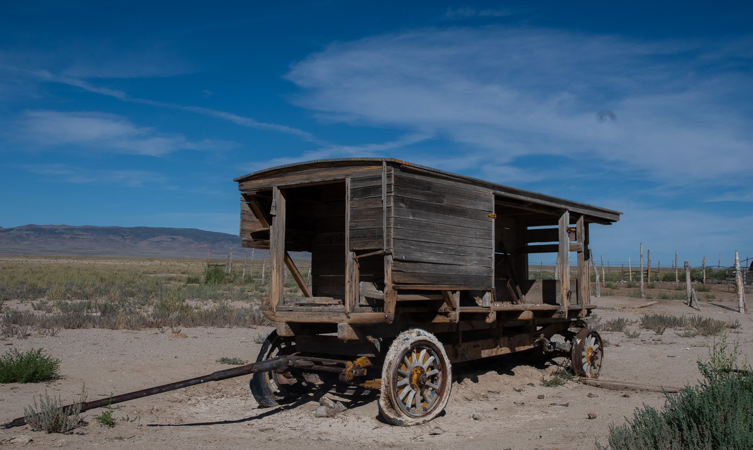
The stage was thus set for possessing Nevada lands with a culture of individual freedom and norms of equality; their becoming the object of plow and pick, transformed into homesteads, mines, schools, bars, hotels, freight ways, and all things of imagination imbued with grit seeking glory.
The words land and landscape are used herein to paint two different images: land as an early definition of nature encompassing plants, animals, and minerals; eventually expanding to powerful advocacy in Aldo Leopold’s “Land Ethic” essay published in the 1940s. (Meine)
Landscape includes the interaction of land and humans, expressed through toil to meet immigrants’ functional needs by altering land form or supplementing its nature with physical or social infrastructure.
Approach:
America is fortunate to have a rich naming heritage. The U.S. Board on Geographic Names, established in 1890, started to build an official collection of names closely tied to the land and the adventures of its people. (Stewart)
The identification of Nevada’s “historical named places” in the USGS Geographic Names Information System (GNIS) serves as the start of this initiative; it includes place names, character of place, and location coordinates in the rural counties of Nevada, known as the Rurals: Churchill, Elko, Esmeralda, Eureka, Humboldt, Lander, Lincoln, Mineral, Pershing, Nye, and White Pine County:

- Build a GIS platform to identify the 1000+ GNIS historical place names in the Rurals, transfer information to mobile devices for field location.
- Develop field survey protocols to explore areas with common connections, such as Big Smokey Valley, Reese River Valley, or subjects, such as post offices, schools, railroads, ranches, etc.
- Share stories about landscape and land places on the nevadans.land website under a theme of Working Landscapes.
- Expand the GIS platform to incorporate newly revealed field conditions.
- Analyze place, route, area relationships; how places interact with routes (indigenous pathways, exploration routes, stage lines, railroads, etc.), civil and natural boundaries (counties, districts, drainage basins, mountain ranges). This type of analysis could occur after building a critical mass of place data.
- Build a reference library of first-person narratives, maps, non-fiction works, poetry, research essays, books, journals, and photographs, to correlate with field findings for Working Landscape stories on nevadans.land. In and of itself an intellectual landscape whose materials calls for exploration in-situ or in an armchair.
- Engage individuals possessing a broad range of knowledge, skills, and interest in extending this work.

Expectations/Questions:
Nevada Lands: Nevadans’ Land is a multi-year effort built field trip by field trip, place by place, story by story, to assemble an integrated collection of historical Nevada information: GNIS confirmed and expanded data, mapping (USGS, GLO Township and Range, expeditionary reports), ground and drone imagery.
Along with the three intentions introduced on the Home Page several questions lurk about the mind of this new-old age explorer that will fit into conversations with Nevadaphiles as the work goes on.
Re: Nevada Lands: Nevadans’ Land:
- How complete are the listings of “historical named places” in the GNIS?
- Can the structure developed for this initiative serve as a foundation for expansion, further exploration?
- Are patterns of exploration, engagement, settlement, and retreat evident among the historical places, routes, and areas?
- Does current historical data and organizations accountable for their stewardship, support a thorough, accessible platform of knowledge for those seeking understanding of the struggles and triumphs our ancestors’ added to the spirit of the land?
- Can stories, with a fabric of text, photography, and sound portray our forefathers struggle with the land?
- Can this initiative shine upon your faces to further unfold the spirit of early Nevadans?
- Did the land consume the pioneering spirit, or did their energy endure in the landscape?

